My Genealogy Hound
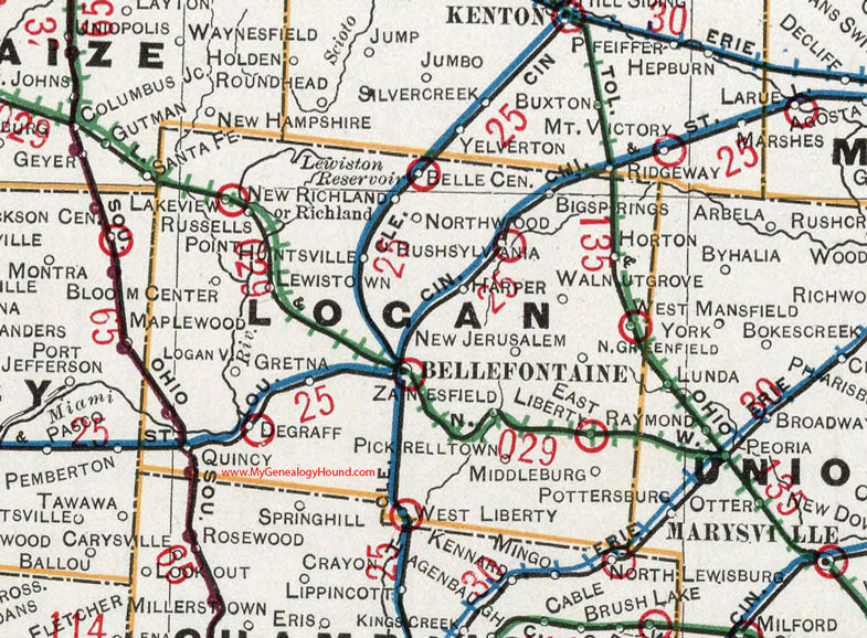
Logan County, Ohio 1901 Map

Locations shown include: Belle Center * Bellefontaine * Big Springs * Bloom Center * DeGraff * East Liberty * Gretna * Harper * Horton * Huntsville * Lakeview * Lewistown * Logansville * Middleburg * New Jerusalem * New Richland * North Greenfield * Northwood * Pickrelltown * Quincy * Richland * Ridgeway * Rushsylvania * Russells Point * Santa Fe * Walnut Grove * West Liberty * West Mansfield * Zanesfield
This Logan County map is a portion of an 1901 Ohio map by Cram.
View additional Ohio Maps here: Ohio County Maps
County maps from other states can be viewed here: State County Maps
Use the links at the top right of this page to search or browse thousands of family biographies.