My Genealogy Hound
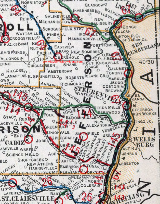
Jefferson County, Ohio 1901 Map

Locations shown include: Adena * Alikanna * Amsterdam * Annapolis * Bergholz * Bloomingdale * Brilliant * Browns * Cables * Calumet * Carman * Circle Green * Connorville * Costonia * Cresswell * Dillonvale * East Springfield * East View * Emerson * Empire * Excell * Fairplay * Fernwood * Freeman * Glen Run * Hammondsville * Herrick * Holt * Irondale * Iron Works * Island Creek * Jeddo * Jefferson * Kellys * Knoxville * Long Run * Markle * Mines * Mingo Junction * Mount Pleasant * New Alexandria * New Somerset * Osage * Pine Valley * Port Homer * Portland Station * Pravo * Reeds Mills * Richmond * Roberts * Rushrun * Ruthven * Salt Run * Shane * Smithfield * Startle * Steubenville * Tiltonsville * Toronto * Unionport * Updegraff * Verbena * Warrenton * Wintersville * Yorkville
This Jefferson County map is a portion of an 1901 Ohio map by Cram.
View additional Ohio Maps here: Ohio County Maps
County maps from other states can be viewed here: State County Maps
Use the links at the top right of this page to search or browse thousands of family biographies.