My Genealogy Hound
St. Louis County, Missouri 1904 Map
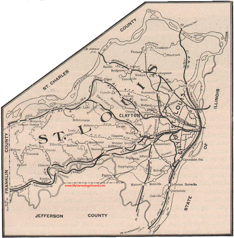
Locations shown include: Affton, Allenton, Altheim, Anglum, Ascalon, Baden Station, Ballwin, Bartold, Bellefontaine, Blackjack, Bobring, Bonfils, Bridgeton, Carondelet Station, Castello, Centaur Station, Central, Chesterfield, Clayton, Crescent, Creve Coeur, Crosskeys, Desperes, Dwyer, Ellisville, Eureka, Fenton, Ferguson, Fernridge, Florissant, Foxcreek, Glencoe, Grover, Gumbo, Hillside, Hollow, Jefferson Barracks, Jennings, Kinloch, Kirkwood, Lake, Loehr, Manchester, Maplewood, Mattese, Mehlville, Melrose, Meramec Highlands, Midland, Monarch, Normandy, Nursery, Oakville, Old Orchard, Pattonville, Pond, Price, Quarantine, Rosa, St. Louis, Sappington, Sherman, Sherwood, Shrewsbury, Stratmann, Sutter, Tuxedo, Valleypark, Virgus, Webster Grove, Wellston, Windom
View additional Missouri Maps here: Missouri County Maps
County maps from other states can be viewed here: State County Maps
Additional St. Louis County resources: St. Louis County, Missouri History, Genealogy, and Maps
Use the links at the top right of this page to search or browse thousands of family biographies.