My Genealogy Hound
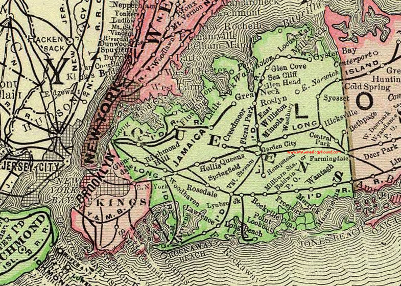
Queens County, New York 1897 Map

Locations shown include: Arverne * Baldwin P O * Bayville * Bethpage * Central Park * Chester * Creedmoor * East Norwich * East Williston * Farmingdale * Floral Park * Flushing * Freeport * Garden City * Glen Cove * Glendale * Glen Head * Great Neck * Hempstead * Hicksville * Hollis * Jamaica * Lawrence * Little Neck * Locust Valley * Long Island City * Lynbrook * Massapequa * Merrick * Millburn Station * Mill Neck * Mineola * Oyster Bay * Port Washington * Queens * Richmond Hill * Rockaway Beach * Rockville Center * Rosedale * Roslyn * Sea Cliff * Springfield * Syosset * Valley Stream * Wantagh * Westbury * Whitestone * Winfield * Woodhaven *
This Queens County map is a portion of an 1897 New York map by Rand McNally.
View additional New York Maps here: New York County Maps
County maps from other states can be viewed here: State County Maps
Use the links at the top right of this page to search or browse thousands of family biographies.