My Genealogy Hound
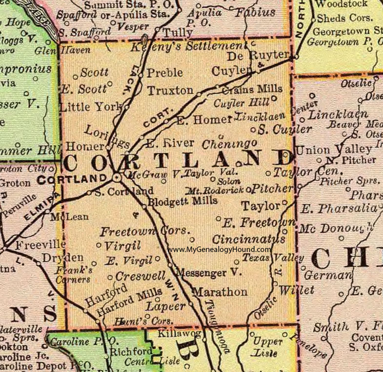
Cortland County, New York 1897 Map

Locations shown include: Blodgett Mills * Cheningo * Cincinnatus * Cortland * Crains Mills * Creswell * Cuyler * Cuyler Hill * East Freetown * East Homer * East River * East Scott * East Virgil * Frank's Corners * Freetown Corners * Harford * Harford Mills * Homer * Hunt's Corners * Kenney's Settlement * Lapeer * Little York * Lorings * Marathon * McGrawville * Messengerville * Mount Roderick * Preble * Scott * Solon * South Cortland * South Cuyler * Taylor * Taylor Center * Taylor Valley * Texas Valley * Truxton * Virgil * Union Valley * Willet *
This Cortland County map is a portion of an 1897 New York map by Rand McNally.
View additional New York Maps here: New York County Maps
County maps from other states can be viewed here: State County Maps
Use the links at the top right of this page to search or browse thousands of family biographies.