My Genealogy Hound
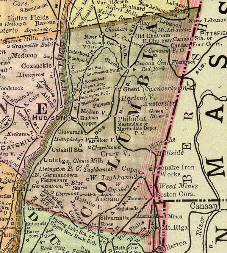
Columbia County, New York 1897 Map

Locations shown include: Ancram * Ancram Lead Mines * Austerlitz * Blue Stores * Boston Corners * Canaan * Canaan Center * Canaan P O * Canaan Station * Catskill Station * Chatham * Chatham Center * Churchtown * Claverack * Copake * Copake Iron Works * Coxsackie Station * Craryville * East Chatham * Elizaville P O * Ellerslie Station * Flatbrook * Gallatinville * Germantown * Ghent * Glenco Mills * Green River * Halsteads * Harlemville * Hillsdale * Hillside * Hollowville * Hudson * Humphreysville * Kinderhook * Lebanon Springs * Linlithgo * Livingston P O * Malden Bridge * Martindale * Martindale Depot P O * Mellenville* Mount Lebanon * New Lebanon Center * Niverville * North Chatham * North Concord * North Germantown * Old Chatham * Philmont * Pulvers * Rayville * Red Rock * Rider's Mills * Rossmans * Silvernails * Spencertown * Stockport Center * Stockport P O * Stockport Station * Stottsville * Stuyvesant * Stuyvesant Falls * Sunnyside * Taghkanick * Tanners * Upper * Valatie * Viewmonte * Weed Mines * West Copake * West Lebanon * West Taghkanick *
This Columbia County map is a portion of an 1897 New York map by Rand McNally.
View additional New York Maps here: New York County Maps
County maps from other states can be viewed here: State County Maps
Use the links at the top right of this page to search or browse thousands of family biographies.