My Genealogy Hound
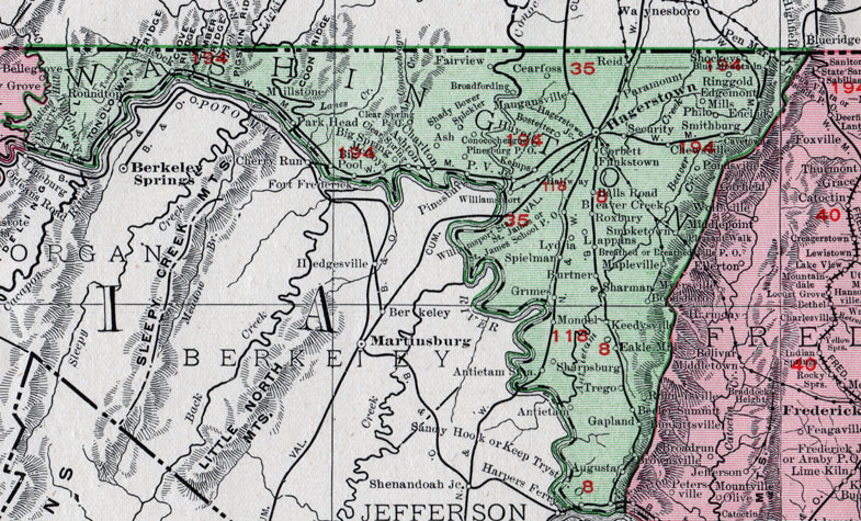
Washington County, Maryland 1911 Map

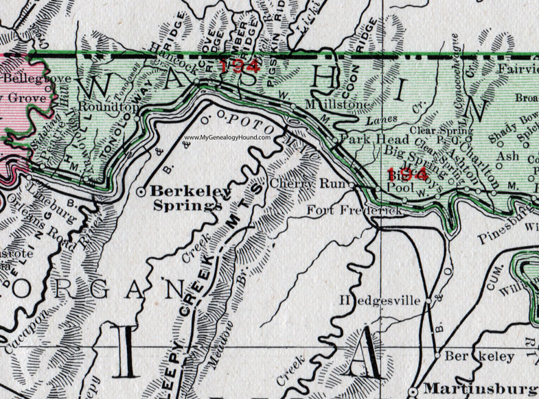
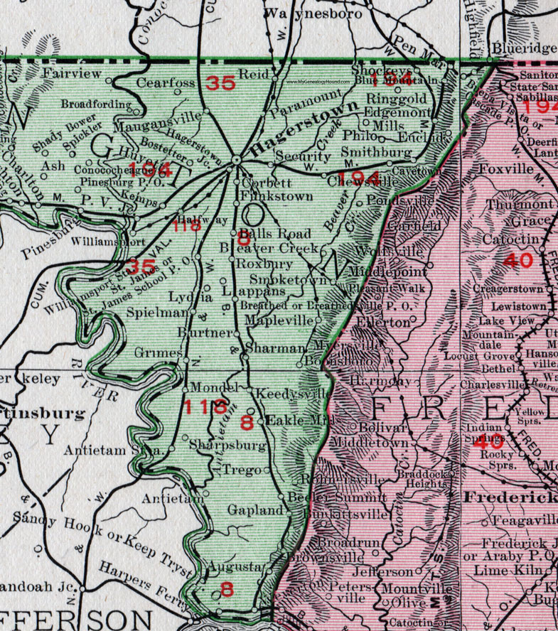
Locations shown include: Antietam * Antietam Station * Ash * Ashton * Augusta * Balls Road * Beaver Creek * Beeler Summit * Big Spring * Blue Mountain * Boonsboro * Bostetter * Breathed * Breathedsville P O * Broadfording * Buena Vista * Burtner * Cascade P O * Cavetown * Cearfoss * Charlton * Cherry Run * Chewsville * Clear Spring * Clear Spring P O * Conococheague * Corbett * Eakle Mills (Eakles Mill) * Edgemont * Euclid * Fairview * Fort Frederick * Funkstown * Gapland * Grimes * Hagerstown * Hagerstown Junction * Halfway * Hancock * Highfield * Huyett * Keedysville * Keep Tryst P O * Kemps * Lappans * Lydia * Mapleville * Maugansville * McCoys * Mills * Millstone * Mondel * Paramount * Park Head * Pearre * Pen Mar * Philo * Pinesburg * Pinesburg P O * Pool * Reid * Ringgold * Rohrersville * Roundtop * Roxbury * Saint James * Saint James School P O * Sandy Hook * Security * Shady Bower * Sharman * Sharpsburg * Shockeys * Smithburg * Smoketown * Spickler * Spielman * Tonoloway * Trego * Williamsport * Williamsport Station *
This Washington County map is a portion of a 1911 Maryland map by Rand McNally. See the enlarged map views below.

The western half of Washington County, Maryland on a 1911 map by Rand McNally. See the additional view below.

The eastern half of Washington County, Maryland on a 1911 map by Rand McNally.
View additional Maryland Maps here: Maryland County Maps
County maps from other states can be viewed here: State County Maps
Use the links at the top right of this page to search or browse thousands of family biographies.