My Genealogy Hound
Davidson County, Tennessee 1888 Map
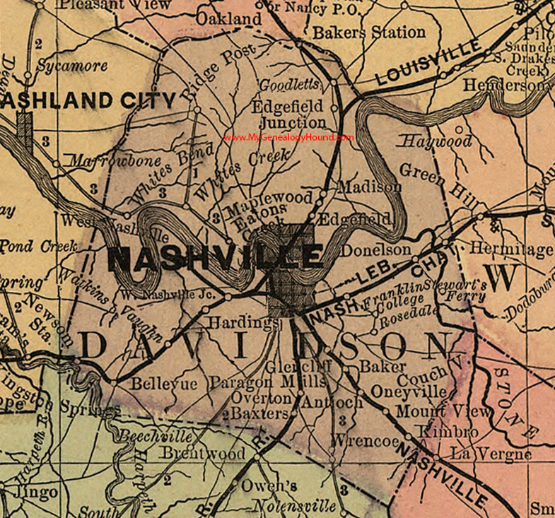
Locations shown include: Antioch, Baker, Bakers Station, Baxters, Bellevue, Couchville, Donelson, Eatons Creek, Edgefield, Edgefield Junction, Franklin College, Glencliff, Goodletts (Goodlettsville), Hardings, Hermitage, Kimbro, Madison, Maplewood, Mount View, Nashville, Newsome Station, Oneyville, Overton, Paragon Mills, Ridge Post, Rosedale, Stewart's Ferry, Vaughn, Watkins, West Nashville, West Nashville Junction, Whites Bend, Whites Creek, Wrencoe
This a portion of a Tennessee map by Rand, McNally & Co. 1882, 1888
View additional Tennessee Maps here: Tennessee County Maps
County maps from other states can be viewed here: State County Maps
Use the links at the top right of this page to search or browse thousands of family biographies.