My Genealogy Hound
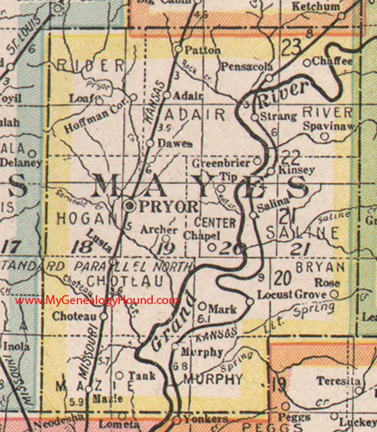
Mayes County, Oklahoma 1922 Map

Locations shown include: Adair, Archer, Chaffee, Chapel, Choteau, Dawes, Greenbrier, Hoffman Cor., Kinsey, Loaf, Locust Grove, Lusta, Mark, Mazie, Murphy, Patton, Pensacola, Pryor, Rose, Salina, Spavinaw, Strang, Tank, Tip
This is a portion of a Oklahoma map by George F. Cram Company, 1922.
View additional Oklahoma County and Indian Nation Maps here: Oklahoma County and Indian Nation Maps
County maps from other states can be viewed here: State County Maps
Use the links at the top right of this page to search or browse thousands of family biographies.