My Genealogy Hound
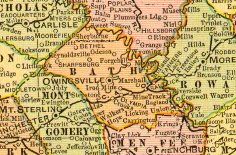
Bath County, Kentucky 1905 Map

Locations shown include: Alley, Bethel, Crooks, Forgehill, Iron Mine, Moores Ferry, Marshall, Midland, Mine Track, Odessa, Olympia, Owingsville, Ragland, Reynoldville, Salt Lick, Sharpsburg, Stepstone, Union, Wyoming, Yale
This a portion of a Kentucky map from Cram's Ideal Reference Atlas, 1905
View additional Kentucky Maps here: Kentucky County Maps
County maps from other states can be viewed here: State County Maps
Additional Bath County resources: Bath County, Kentucky History and Genealogy
Use the links at the top right of this page to search or browse thousands of family biographies.