My Genealogy Hound
Montgomery County, Arkansas 1889 Map
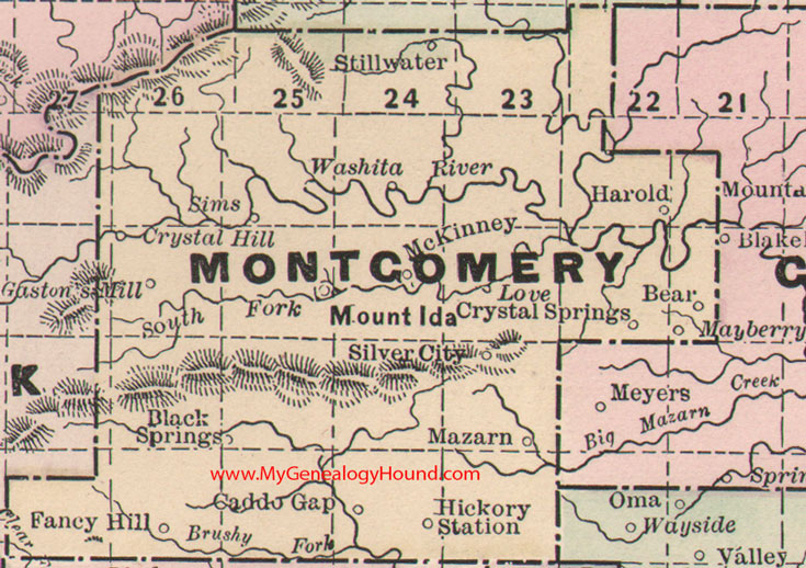
Locations shown include: Bear, Black Springs, Caddo Gap, Crystal Hill, Crystal Springs, Fancy Hill, Gaston's Mill, Harold, Hickory Station, Love, Mayberry, Mazarn, McKinney, Mount Ida, Silver City, Sims, Stillwater
This is a portion of a Arkansas map published by Bradley, circa 1889.
View additional Arkansas Maps here: Arkansas County Maps
County maps from other states can be viewed here: State County Maps
Additional Montgomery County resources: Montgomery County, Arkansas History, Genealogy, and Maps
Use the links at the top right of this page to search or browse thousands of family biographies.