My Genealogy Hound
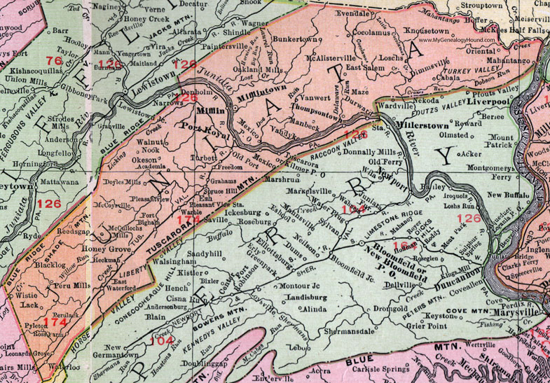
Juniata County, Pennsylvania 1911 Map

Locations shown include: Academia * Blacklog * Bunkertown * Cabala * Cocolamus * Denholm * Dimmsville * Doyles Mills * Durward * East Salem * East Waterford * Esh * Evendale * Fort Bigham * Freedom * Grahams * Heckman * Honey Grove * Kilmer P O * Knousetown * Lack * Leonards Grove * Loschs * Mahantango * Manbeck * Maze * McAllisterville * McCoysville * McCullochs Mills * Mexico * Mexico P O * Mifflin * Mifflintown * Nook * Oakland Mills * Okeson * Old Port * Oriental * Perulack * Peru Mills * Pleasant View * Pleasant View Station * Port Royal * Pyleton * Reedsgap (Reeds Gap) * Ross Farm * Spruce Hill * Thompsontown * Turbett * Tuscarora * Vandyke * Vanwert (Van Wert) * Walnut * Warble * Waterloo * Wistie *
This Juniata County map is a portion of an 1911 Pennsylvania map by Rand McNally. See the enlarged map views below.

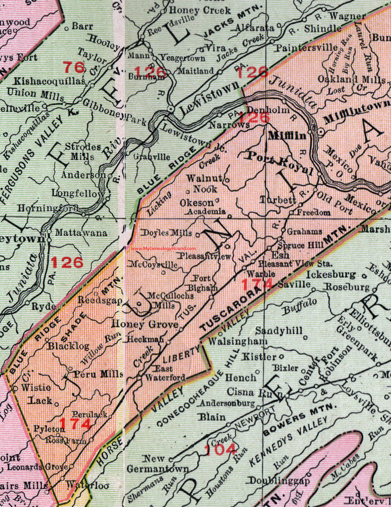
An enlarged view of western Juniata County, Pennsylvania on an 1911 map by Rand McNally.

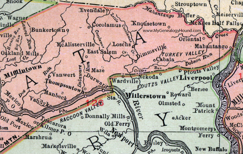
An enlarged view of eastern Juniata County, Pennsylvania on an 1911 map by Rand McNally.
View additional Pennsylvania Maps here: Pennsylvania County Maps
County maps from other states can be viewed here: State County Maps
Use the links at the top right of this page to search or browse thousands of family biographies.