My Genealogy Hound
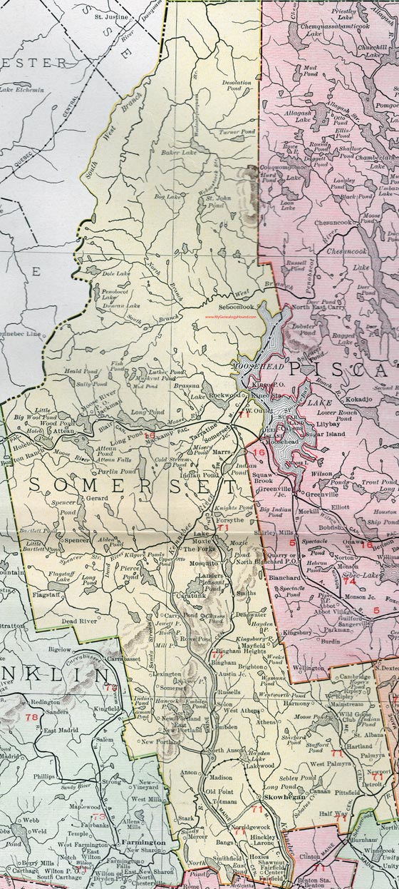
Somerset County, Maine, 1912 Map

(See enlarged portions of this map below.)
Locations shown include: Anson, Athens, Attean, Austin Junction, Bangs, Bingham, Bingham Heights, Blair, Boston Ranch, Brighton, Canaan, Caratunk, Carry Pond, Dead River, Deadwater, Detroit, East New Portland, Embden, Fairfield, Fairfield Center, Flagstaff, Forsythe, Gerard, Half Way, Harmony, Hartland, Hinckley, Holeb, Hoxies, Indian Pond, Jackman, Lake Moxie, Lakewood, Landers, Larone, Lexington, Long Pond, Mackamp, Madison, Mainstream, Marrs, Mayfield, Mercer, Moose River P. O., Mosquito, New Portland, Norridgewock, North Anson, North New Portland, Old Point, Palmyra, Pittsfield, Rockwood, Rowe Pond, Russells, Seboomook, Shawmut, Skowhegan, Smithfield, Smiths, Solon, Somerset, Somerset Junction, Spencer, Stark, St. Albans, Tarratine, The Forks, Totmans, West Athens, West Outlet, West Palmyra, Wild Goose Club.
This Somerset County map is a portion of a 1912 map of Maine by Rand McNally.

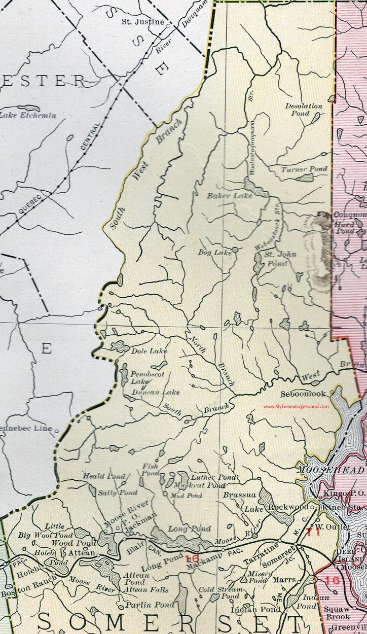
Map of the northern portion of Somerset County, Maine.

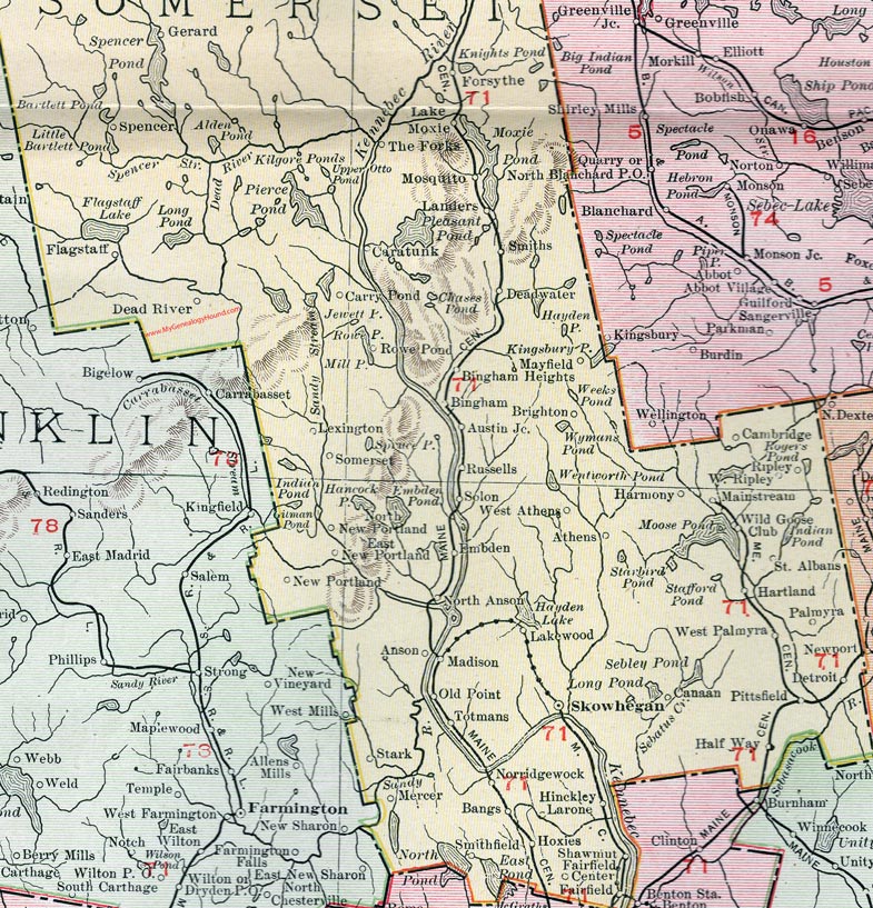
Map of the southern portion of Somerset County, Maine.
View additional Maine Maps here: Maine County Maps
County maps from other states can be viewed here: State County Maps
Use the links at the top right of this page to search or browse thousands of family biographies.